
Pigs, sheep and goats
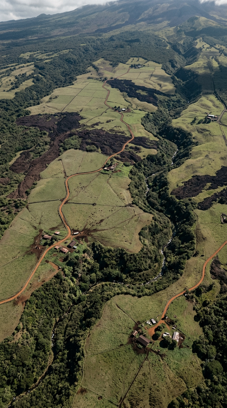
You hunt them on and around ranch and agricultural land, with a Hawaii hunting license in your pocket.
When you are inside that margin, it warns you. Built for the Big Island pig hunter who follows pigs, sheep and goats across ranch and agricultural land, dogs ahead, brush closing in, no fence in sight.
TMK (3) 9-6-001:012
Sample Ranch LLC
Every property line carries a band: how far off the line may be. Walk into the band and Plat Line ID tells you that you are too close, before you are across it.
Too close
You are inside the margin of this property line.
Too close
You are inside the margin of error of this property line.
Margin on this line: 40 ft
Back to mapYou hunt them on and around ranch and agricultural land, with a Hawaii hunting license in your pocket.
Every parcel has an owner. The map draws where each line runs and how far off it may be.
When the dogs run and the brush closes in, there is no fence to read. The warning does the reading.
Plat Line ID is a web app made for the phone in your hand. Open it in your browser, save it to your home screen, and it is there when you reach the gate.
You are on agricultural land, dogs out ahead. Tap the parcel and Plat Line ID shows its owner name and its TMK, with the margin of the line beside them. These screens are a sample: the owner, the TMK and the margin are made up.
Parcel
Sample Ranch LLC
TMK (3) 9-6-001:012
Margin on this line: 40 ft
Parcel
Sample Ranch LLC
Three steps from the truck to the brush, all on your phone.
Step 1
Search by owner name or by TMK and the map jumps to that parcel. You see whose land you are near before you take a step.
Matches
Sample Ranch LLC
TMK (3) 9-6-001:012
Sample Family Trust
TMK (3) 9-6-001:013
Sample Agricultural Co.
TMK (3) 7-2-004:021
Parcel found
Sample Ranch LLC
Step 2
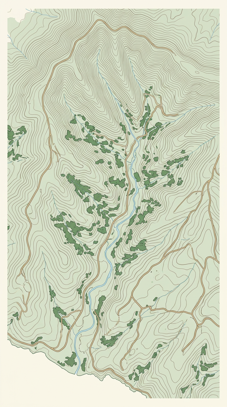
Each property line sits inside a coral band. The band is its margin of error: how far off the line may be. Stay out of the band and you stay clear of the line.
Step 3
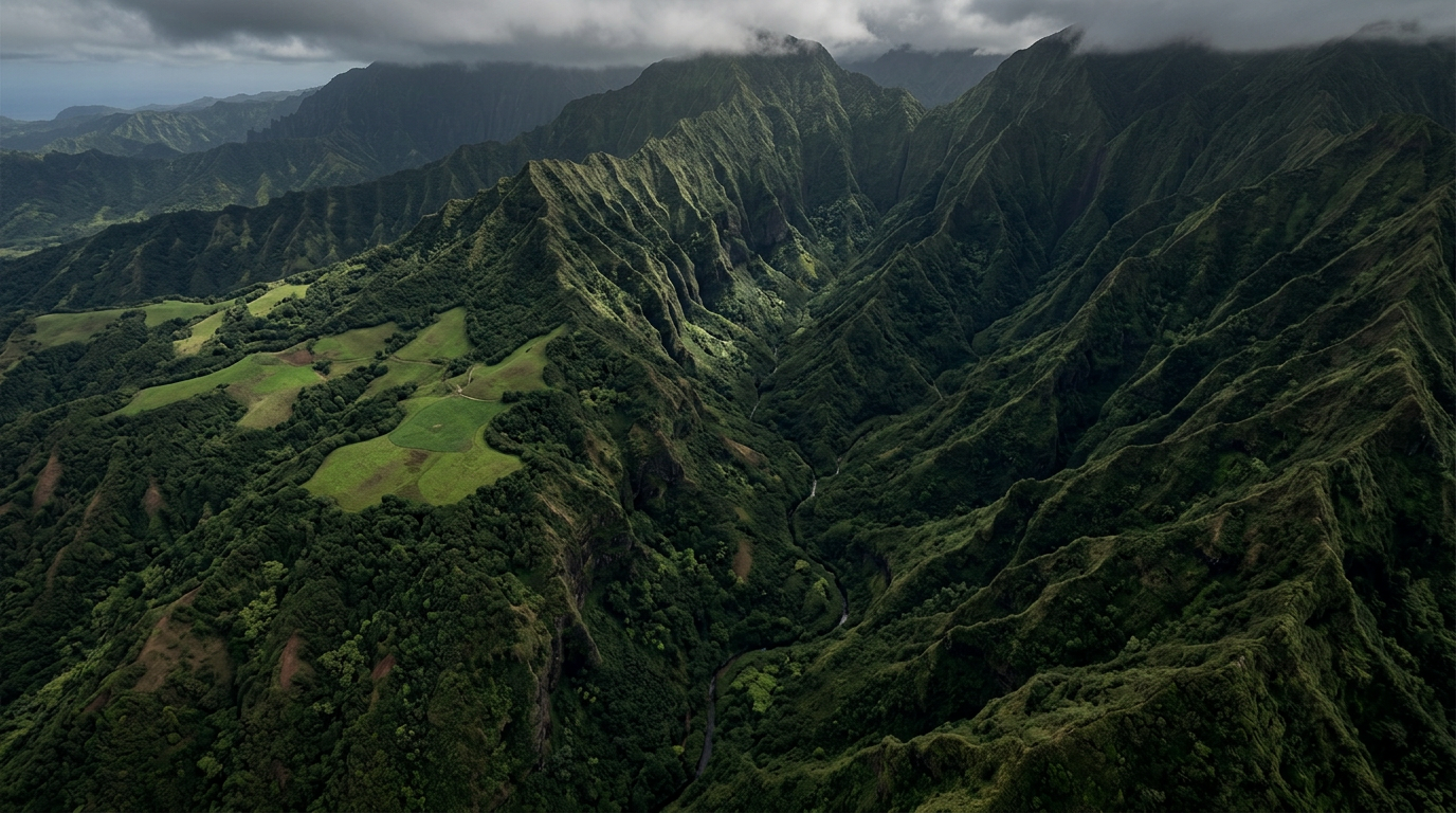
Move through the brush and watch the blue dot. When it crosses into a band, the map warns you that you are too close.
 Generated image, sample screen
12 months of full access across Hawaii. This is everything in it.
See who owns the parcel you are standing near.
Find a parcel by its tax map key.
A band around every line shows how far off it may be.
A warning when you are inside the band.
One payment of $19 covers a full year.
The pass works anywhere in Hawaii.
Plat Line ID warns you when you are inside it.